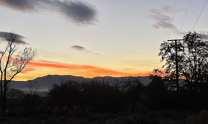
Tuesday's sunrise showed some color as a new storm is anticipated to arrive in Western Nevada.
A winter weather advisory is back up for the entire length of the Sierra Nevada starting 10 p.m. today.
While confident today and Wednesday will see some precipitation as a result of a storm, forecasters are a little more reticent about a colder storm that could arrive at the end of the week.
National Weather Service Reno Meteorologist Heather Richards said the model for the last few winters have seen some significant variance.
“So far, this season has left us feeling a bit 'punked' by solutions all over the place, so confidence will remain low until solutions agree a bit more,” she said.
Most recently a winter weather advisory issued for last weekend ended up being canceled after the storm split, leaving Lake Tahoe and Western Nevada essentially dry.
The first storm of 2024 may bring snow flurries down to the Carson Valley floor tonight and Wednesday, though no accumulation is forecast.
“Southerly winds will increase this morning bringing
gusts 40-55 mph to ridges in the Sierra, shortly to be followed
by light showers arriving with an initial moisture band,” Richards said early Tuesday morning. “Things will dry out temporarily into the afternoon, before the main event arrives tonight. The main band of snow that arrives late this evening will come along with snow levels tumbling to around 4,000 feet or lower into early Wednesday.”
Most of the snow will fall on the West Slope of the Sierra between 9 p.m. and 3 a.m., hitting 1-2 inches per hour at times.
“We could see showers make it's way to leeside valleys Wednesday with a potential for snow to valley floors,” Richards said. “Anything that does fall in the Greater Reno-Carson-Minden areas will be light.”
The Sierra crest has a 70-80 percent chance for 12 inches of snow, while the Tahoe Basin will see a 40-50 percent chance for 4-6 inches.
There is a chance that a deep trough could bring a Tonopah low on Wednesday increasing the chance of snow east of Highway 95 affecting Pershing, Churchill and Mineral counties.
It was last year’s Tonopah low that brought heavy snow to the Pine Nuts and eastern Douglas County over the New Year’s storm.
Cold temperatures and even a small amount of precipitation can make roads slick, so motorists are advised to check conditions at nvroads.com or quickmap.dot.ca.gov
Winds will shift to north as the storm moves out on Wednesday afternoon.
“Someone seems to have left the storm door open,” Richards said.

Comments
Use the comment form below to begin a discussion about this content.
Sign in to comment