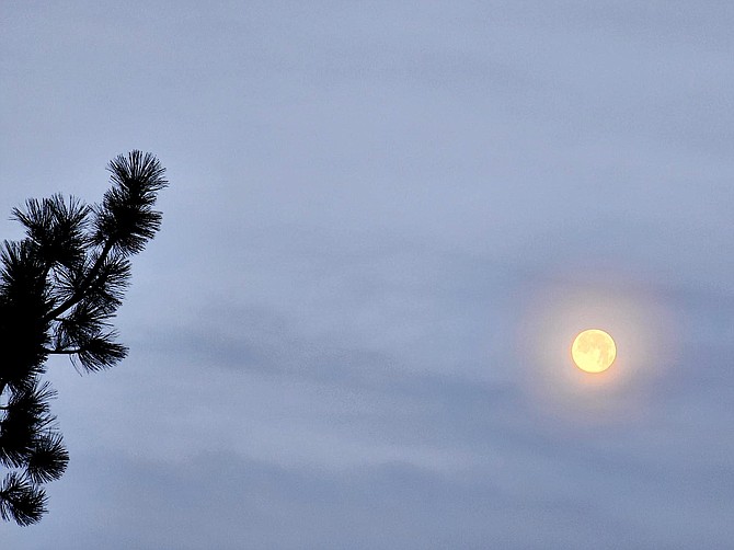
The full moon on Dec. 27 taken from the top of Cave Rock at Lake Tahoe.
Update: A storm that prompted a winter weather advisory for the entire length of the Sierra Nevada split, leaving Lake Tahoe and Western Nevada dry.
In the Tahoe Basin, the advisory was cancelled before noon, four hours early, and in Mono County it was over by 3 p.m., seven hours earlier than forecast.
The only National Weather Service gauge in Douglas County to indicate any precipitation showed .02 inches at Glenbrook.
There were reports of a light drizzle in Carson City on Saturday morning.
Heavenly Ski Resort reported no additional snow from the storm, or over the course of the last week.
“Dry conditions prevailing today will make for a good travel day for those out and about for the New Year's holiday,” Weather Service Meteorologist Brittany Whitlam said early on New Year’s Eve.
There might be a slight chance for snow down to the Valley floor on Wednesday, as a cold storm from the Gulf of Alaska arrives. Whitlam said that without a source of tropical moisture, it’s unlikely there will be more than 6 inches along the Sierra crest and only a dusting at lower elevations.
Without any precipitation in the last days of 2023, December saw 1.03 inches of moisture recorded in Minden for a calendar year’s total of 18.81 inches. That wasn’t sufficient to topple 2017’s total of 20 inches or 1909’s 19.67 inches.
The first quarter of the water year, which started on Oct. 1, has been fairly dry with 1.62 inches falling in Minden, far short of the average 2.94 inches.
Previous Story:
A winter weather advisory has been issued for the Sierra Nevada from Redding to Mammoth Lake, including Lake Tahoe and the Carson Range.
“Snow accumulations 2-6 inches, with up to foot above 7500 feet elevation, west of Highway 89,” according to the advisory issued on Friday afternoon. “It will be a mix of rain and snow in the Tahoe Basin at the storm onset, changing to mainly snow Saturday. This will greatly limit totals with a dusting up to 2 inches near 6,000 feet elevation. Winds gusting as high as 75 mph along the Sierra crest with up to 35 mph into the Basin. Wave heights on Lake Tahoe 1-3 feet.”
The advisory is from 10 p.m. today to 4 p.m. Saturday and could affect travel over the Sierra passes and around Lake Tahoe through Saturday morning.
Winds could damage any unsecured holiday decorations.
Rain is forecast to arrive in Carson Valley just after midnight with around .05 inches falling in Minden. Amounts might be higher closer to the Sierra. There’s a slight chance of snow 7-10 p.m. Saturday.
New Year’s Eve could see equally slight chances of rain or snow in the Valley between 4 p.m. Sunday and 3 a.m. New Year’s Day.
Winds are expected to remain light in the Carson Valley through the weekend.

Comments
Use the comment form below to begin a discussion about this content.
Sign in to comment