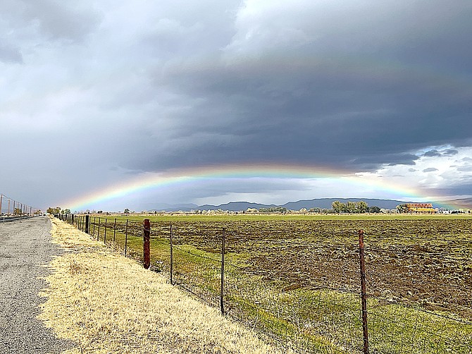
Frank Dressel took a photo of the rainbow over the Carson Valley on Wednesday.
The first of a pair of cold storms rolled into Carson Valley today bringing a lot of wind and a little rain.
Sheridan Acres reported a 50 mph gust at 9:50 a.m. Fish Springs recorded a 48 mph wind gust at 11:53 a.m. with gusts exceeding 40 mph for much of the morning. Minden-Tahoe Airport’s automated weather system recorded a 39 mph wind gust at 11:15 a.m.
A public safety outage watch for Genoa, Glenbrook and southern Carson City was cancelled at 3:30 p.m. after winds calmed as wet weather arrived.
Forecasters said that there’s a chance of snow showers over the Sierra passes tonight through early Thursday morning with a chance of rain and snow showers in the valley.
“As a second colder front drops into the region late this afternoon and evening, snow levels will drop rather quickly to near valley floors with heavier showers spreading south into the Sierra of Mono County as well as across Western Nevada,” said National Weather Service Reno Meteorologist Wendell Hohmann. “This will be the time to watch road conditions closely if your are heading over any of the Sierra passes as colder temperatures and nightfall will allow for light accumulation on passes above 7000 feet.”
Genoa received a tenth of an inch of rain by 5 p.m. Wednesday, with rain totals of around .06-.07 inches along the base of the Carson Range.
The second system is expected to arrive by Friday night.
“The biggest story with this front will be the very dry airmass and cold temperatures,” Hohmann said. “While overnight temperatures will approach or drop below freezing tonight and again Thursday night, hard freezes are imminent this weekend for all elevations. Some of the colder valleys will be down into the single digits and teens. Even during the daytime, the breezes and temperatures 10-15 degrees below normal will remind us winter is coming.”
The hard freeze will affect irrigation systems and outdoor pets and livestock.
“Any areas that managed to avoid overnight freezes so far this month are virtually certain to see a solid hard freeze by Saturday night, with lows ranging from the upper teens to mid 20s, with some lows in single digits possible for colder Sierra valleys,” National Weather Service Meteorologist Mark Deutschendorf said on Monday night. “This is also the level of coldness where irrigation pipes need to be protected from exposure and bursting risk, along with ensuring that pets and livestock have access to sufficient warmth.”

Comments
Use the comment form below to begin a discussion about this content.
Sign in to comment