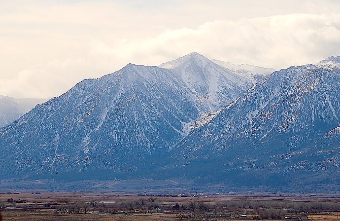
Jobs Peak rises above Carson Valley around lunchtime on Saturday as another storm blows through without leaving much moisture.
Photo by Kurt Hildebrand.
The blasts from Heavenly Mountain Resort conducting avalanche control could be heard across Carson Valley on Monday morning.
An avalanche watch has been issued through Tuesday morning for the Sierra backcountry.
“(Saturday’s) storm did not meet expectations, but it still provided enough load to make triggering avalanches more likely today,” according to Andy Anderson posting on sierravalanchecenter.org
“People could trigger large, dangerous avalanches in places where weak snow lurks below the surface or in places where wind-blown snow has piled up.”
Another storm is forecast to arrive tonight, National Weather Service Meteorologist Tyler Salas said earlier this morning, which could increase avalanche danger.
“This storm will be much more efficient in generating spillover rain across western Nevada,” Salas said on Sunday morning. “The onset of heaviest rainfall appears to begin late tonight with steady rain continuing into the Monday morning hours.”
Most of today’s forecast is pretty similar to Saturday’s dry, blustery conditions.
Light rain fell in a few spots across Douglas County over the weekend so far, with Heavenly reporting .2 inches of snow overnight on Saturday.
The heaviest rainfall on the eastern slope of the Sierra is predicted to arrive after midnight tonight with a chance of around a quarter inch in Minden on Monday.
Snow levels are expected to remain at 6,000-6,500 feet with a possibility of 1-2 inches an hour along the Sierra crest from the Tahoe Basin south to Mono Counties.
“Snow totals in the high Sierra through early Tuesday morning will vary from 6-14 inches for this area with up to a 20 percent chance of 18 inches locally in Alpine and Mono counties,” Salas said. “Meanwhile, lower elevation Sierra locales such as Truckee, South Lake Tahoe and Bridgeport may see 1-3 inches of wet slushy style snowfall.”

Comments
Use the comment form below to begin a discussion about this content.
Sign in to comment