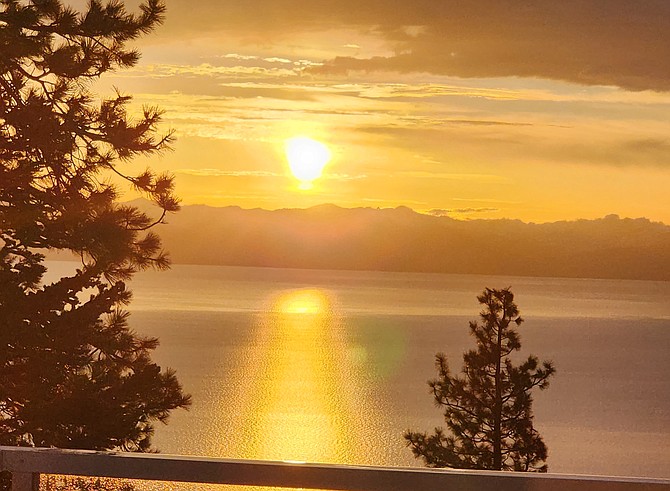
The sunset over Lake Tahoe takes a golden hue after thunderstorms on Tuesday. Photo special to The R-C by June Shafer
A thunderstorm that saw more than a half-dozen strikes in Carson Valley dumped rain at Lake Tahoe.
A National Weather Service rain gauge at Skyland recorded .72 inches of rain, more than twice that in either Alpine or Douglas County on Tuesday.
Radar tracked a strong thunderstorm over Zephyr Cove around 4:15 p.m. Tuesday that sent gusty winds out in all directions.
Since Sunday, that spot has seen .93 inches of rain, and yet is not the wettest spot in the county.
That honor goes to a Numbers Post Fire gauge in Thompson Canyon southwest of Mount Siegel that received 1.15 inches of rain in the drainage that feeds Pine Nut Creek. According to Weather Service records, .86 inches of that fell on Sunday afternoon and 2 inches of snow on Memorial Day afternoon.
Fish Springs recorded a half-inch of precipitation from the latest string of thunderstorms, while Genoa received a third of an inch.
The possibility that thunderstorms could increase river flows prompted a regional flood watch on Monday and Tuesday.
A gauge at Horseshoe Bend on the East Fork crested slightly above the 13-foot action stage early Wednesday morning, well below its melt-off peak flow of 14.06 feet on May 23.
The West Fork seems to have been somewhat affected by the rain coming off the mountains, cresting at 13.5 feet at 9:50 p.m. Tuesday.
Horse Meadow, in the Sierra above the West Fork saw .6 inches of rain in 72 hours.
There is a 50 percent chance of thunderstorms mainly before 5 p.m. today. That chance is predicted to decrease on Thursday with the weather finally clearing on Friday for the weekend.

Comments
Use the comment form below to begin a discussion about this content.
Sign in to comment