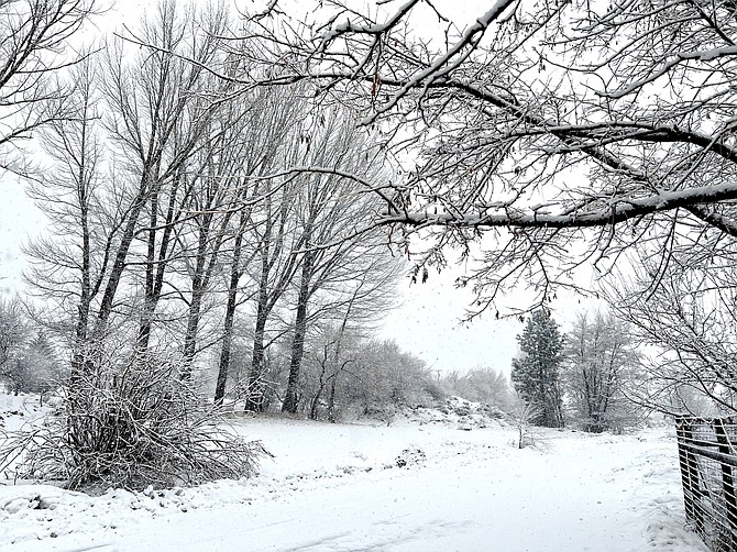
Snow fell during the early morning hours in Genoa on Saturday.
Snow returned to Carson Valley on Saturday morning after a Friday up to the gunnels in flooding news.
According to the Saturday forecast, while snow levels are 5,500-6,000 feet, the precipitation itself is cooling temperatures sufficiently to turn rain to wet snow.
Snow turned to rain, again, in Minden around 7:30 a.m. Only a quarter inch of rain is expected to fall in the county seat through Monday.
The storm brought 2.72 inches of precipitation to Sheridan and 2.52 inches to Genoa, according to gauges reporting to the National Weather Service. Minden-Tahoe Airport recorded 1.11 inches and Minden 1.52 inches. A gauge down in Ruhenstroth recorded 1.4 inches over 36 hours and one in the Gardnerville Ranchos recorded 1.56 inches.
Stormy weather on Friday prompted Heavenly Ski Resort to close for a second day in a row on Saturday.
Flooding prompted emergency declarations from both Douglas County commissioners and Gov. Joe Lombardo on Friday.
Lombardo’s declaration included Lyon and Churchill counties.
Most of Friday’s flooding came out of the Pine Nuts and Valley fields that spent most of the year under a blanket of snow, so far.
The closure of Highway 395 on Friday morning both through the Pine Nuts and Walker Canyon on top of issues with Highway 208 through Wilson Canyon, isolated Topaz Ranch Estates residents on Friday.
State highway workers escorted motorists up and down Highway 395 one lane at a time through the day.
Fish Springs came close to being cut off from the rest of Carson Valley as Pine Nut Creek seemed to cut away at the bank below the main entrance to the neighborhood and Our-R-Way was closed due to flooding.
The Johnson Lane neighborhood of North Fork Trail raised official concerns as water flowing out of the Pine Nuts pooled in the bottomlands near Heybourne and Stephanie Way.
Douglas County first responders sent the Sheriff’s Office MRAP, a military style vehicle with very high clearance, to help should any residents decide to evacuate.
However, residents declined a ride.
Neither the Carson nor the Walker rivers rose to flood stage in Douglas County. The East Fork of the Walker did cross the action stage on its way to forecast minor flooding north of Mason Valley in Lyon County.
According to hydrographic data reported by the National Weather Service, the East Fork of the Carson River crested at 6.08 feet near Markleeville on Friday morning, nearly 2 feet short of the action stage.
The East Fork gained a little steam after rolling through the lower elevations and tickled the 13-foot action stage with 12.82 feet at its crest. Indications are that the main stem of the river just south of Prison Hill in Carson City hit the 8-foot action stage at 6:50 a.m. today and is forecast to crest at 8.3 feet by lunchtime.

Comments
Use the comment form below to begin a discussion about this content.
Sign in to comment