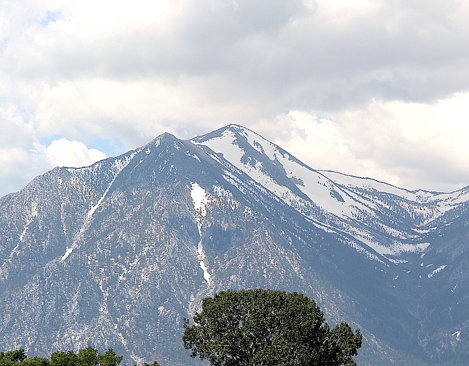
Dark clouds gather around Jobs Peak on Monday morning bringing the possibility of thunderstorms today.
Dark clouds are gathering around Jobs Peak this morning as forecasters predict the possibility of more thunderstorms.
A trough off the coast of California is expected to drive another round of showers and thunderstorms this afternoon and evening.
“Coverage will be more expansive today as the main … forcing from this system targets our area,” said Weather Service Meteorologist Brittany Whitlam.
The best chances are for thunderstorms along the Sierra Front and into northeastern California, according to this morning’s forecast.
“Main threats from storms today include gusty and erratic outflow winds, localized heavy rainfall, frequent lightning and hail,” Whitlam said. “Despite unimpressive moisture availability for this time of year, slow storm motions may lead to localized flash flooding concerns in sensitive terrain such as burn scars.”
Thunderstorms are predicted to stick around on Tuesday and Wednesday before clearing by Thursday.
Temperatures are expected to climb into the mid 90s for the Fourth of July weekend in Minden.
“This quick warm-up will be quite the shock given that temperatures have been relatively mild as of late,” Whitlam said. “If your holiday plans take you outside this weekend, remember to stay hydrated and take periodic breaks in the shade or indoors.”
The warmer temperatures are also expected to increase snowmelt feeding rivers, creeks and streams.

Comments
Use the comment form below to begin a discussion about this content.
Sign in to comment