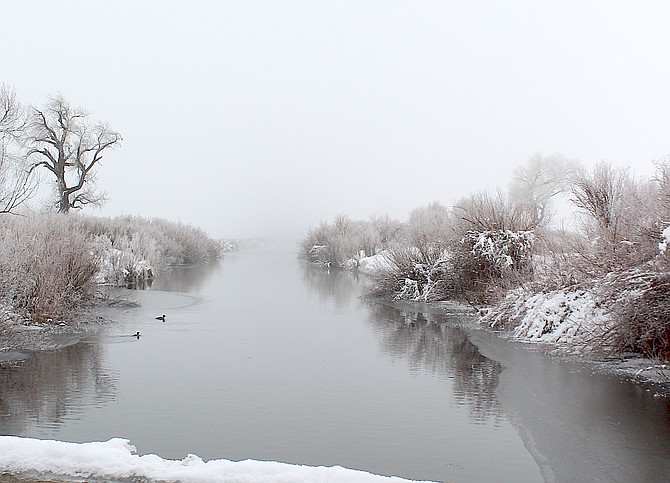
The confluence of the east and west forks of the Carson River just south of Genoa Lane on Dec. 18.
Photo by Kurt Hildebrand.
While a warm and wet storm is expected to hit Carson Valley next week, it’s unlikely there will be serious flooding, according to the National Weather Service.
An atmospheric river is in the cards to arrive Tuesday morning and could bring 1-2 inches of rain to the Valley with a possibility of up to 3 inches at Stateline.
“Despite above normal snowpack at all elevations and warm and wet storms expected next week, it is not time to freak out about widespread flooding,” National Weather Service Senior Hydrologist Tim Bardsley said.
Dry soils and a relatively dry, cold snowpack will soak up the rain like a sponge.
“Relatively dry mountain snowpack and soils will absorb significant rain aided by low initial streamflows … to help mitigate major flooding concerns,” said Bardsley. “These conditions are counter-balanced somewhat by significant and warmer low elevation snowpack.”
He said next week’s atmospheric river doesn’t seem to be as wet or as warm as past years that did result in regional flooding events.
“The time to watch carefully will be during the day on Tuesday when the combination of high precipitation rates and elevated snow levels will start impacting the snowpack and produce rising rivers and streams,” he said on Thursday.
“Still with significant low elevation snowpack, … some minor urban and poor drainage area flooding is likely during periods of high rainfall rates,” he said.
Carson Valley, which doesn’t have any upstream storage, might see some minor river flooding.
“It is most likely that these systems will help wetten our snowpack and soils, and prime our watersheds for more efficient runoff and greater flooding concerns with future warm and wet events,” Bardsley said.
National Weather Service forecaster Dustin Norman said most Valley residents will see rain from the storm with some Sierra cement falling at higher elevations.
“Through Wednesday night only, the latest deterministic guidance forecasts 4-6 inches of liquid along the crest, and 2-4 inches in the Tahoe Basin and Eastern Sierra communities,” he said. “This is a fairly warm atmospheric river, and it will pump in some solid moisture into the region.”
It has been almost six years since the winter of 2017 saw record rainfall in Carson Valley. River flooding closed Cradlebaugh Bridge twice in two months.
Water overtopped roads across the Valley and at times closed the bridges on Genoa, Muller, Mottsville and Centerville lanes that year.

Comments
Use the comment form below to begin a discussion about this content.
Sign in to comment