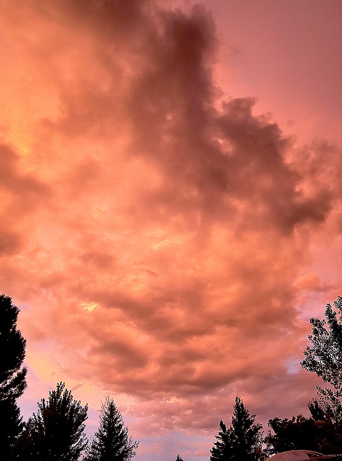
The sunset painted the clouds red on Sunday night in this photo submitted by Alpine View resident Ellie Waller.
The last week of summer could see thunderstorms today and Tuesday before blustery winds bring cooler temperatures Thursday and Friday.
The autumn equinox is 11:49 p.m. Friday, according to the Old Farmer’s Almanac.
Thunderclouds are forecast to develop over the Sierra before shifting into the Highway 395 corridor by late afternoon, according to National Weather Service Reno Meteorologist Wendell Hohmann.
All the usual impacts are possible including lightning, locally heavy rain, small hail, and gusty outflow winds up to 40 mph,” he said on Monday morning.
Storms should shift south into Mono and Mineral counties on Tuesday with highs remaining in the mid-70s and mid-80s.
Windier conditions are expect on Wednesday as a cold front arrives in Western Nevada, with temperatures forecast to drop into the 30s in Minden.
“Wind gusts 30-40 mph are possible Wednesday afternoon which will likely bring a period of choppy lakes and bumpy airplane rides,” Hohmann said. “As clouds and showers increase Wednesday night-Thursday, prepare for a rather sharp change as high temperatures on Thursday only reach into the 50s for Sierra communities and 60s across lower elevations.”
There’s a possibility of freezing temperatures in colder Valley locations, with the potential of frost in Western Nevada’s coldest spots on Saturday morning with temperatures in the mid-30s.

Comments
Use the comment form below to begin a discussion about this content.
Sign in to comment