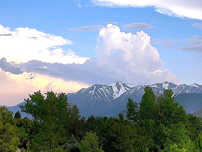
A thunderhead rises over Jobs Peak on Saturday. A flash flood warning was issued on Sunday afternoon for the Tamarack burn scar in Alpine County.
Photo special to The R-C by Ellie Waller
The possibility of thunderstorms and showers continue in the forecast through this week after Sunday’s thunderstorm resulted in a flash flood warning on the Tamarack burn in Alpine County.
There was no report of flooding in the county from Sunday’s storm, where .04 inches of rain fell in Markleeville and .3 inches at Spratt Creek.
“Scattered to numerous showers and thunderstorms will develop each afternoon this week. Storms will be capable of producing frequent cloud to ground lightning, gusty outflow winds, small hail, and heavy rainfall.
Previous story
A flash flood warning was issued on Sunday for the Tamarack burn scar in Alpine County by the National Weather Service.
The warning was issued after Doppler radar indicated thunderstorms and heavy rain in the area.
“Excessive rainfall over the burn scar could result in debris flow
moving through the western portion of the Tamarack Burn Scar,” according to the warning. “The debris flow can consist of rock, mud, vegetation and other loose materials.”
Locations that could experience flash flooding include Grover Hot Springs and Markleeville.
National Weather Service radar shows thunderheads building over the Sierra and moving northwest toward Lake Tahoe.
Lightning strikes are being detected in the Sierra.

Comments
Use the comment form below to begin a discussion about this content.
Sign in to comment