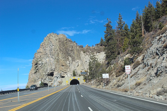
Highway 50's most recognizable feature are the Cave Rock tunnels.
It will be spring before the state gets through all the public feedback on the U.S. 50 Tahoe East Shore Corridor Management Plan.
The state originally planned to present the plan to Douglas County commissioners this month.
“Following the extensive public feedback recently received, including a publicly submitted roadway alternative, NDOT will take the time to thoroughly evaluate the input,” state transportation spokeswoman Meg Ragonese said on Thursday. “To allow time for this additional analysis of recent public feedback, NDOT will not be presenting to the Douglas County Board of County Commissioners as originally planned in February. Instead, NDOT looks forward to updating Douglas County once this additional feedback review is complete, likely early this spring.”
Commission Chairman Mark Gardner said the state had decided to shelve the plan which would have reduced the number of lanes on the highway from four to two in some areas.
“We are currently reviewing study-related public feedback received during recent state transportation board meetings, as well as an alternate proposal provided by a community representative,” Ragonese said. “We look to finalize the plan over coming months, including consideration of recent feedback from community members.”
The state said it conducted 50 stakeholder meetings and had 775 interactions with those stakeholders and members of the public.
Most public concerns have dealt with the reduction in the number of lanes on the highway.
“There is consensus that something needs to be done to address traffic safety and access concerns on U.S. 50,” Ragonese said. “Most we spoke to during the spring listening tour are in favor of lowering operating speeds and adding turn lanes.”
Eliminating roadside parking along Highway 50 and working to improve the intersection with Highway 28 are among the proposals that received greater support, she said.
Work on the highway is constrained by geography with sections of the winding highway between Stateline and Spooner Summit having nothing but two yellow lines separating opposing traffic lanes.
The highway is regularly the most deadly stretch of road in Douglas County, but many of the fatalities can be traced to impaired drivers crossing the center line into the oncoming lane.
The state installed a center wall down the middle of Highway 50 from Spooner Summit to Carson City in an effort to reduce head-on collisions.

Comments
Use the comment form below to begin a discussion about this content.
Sign in to comment