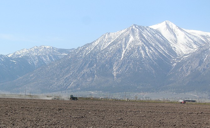
Dust flies as a field south of Genoa Lane is plowed on Monday morning. A wind advisory is in effect through 8 p.m.
The wind clearly didn’t bring a watch as a southwest gust hit 39 mph at Highway 395 and Genoa Lane around 9:10 a.m. nearly two hours before a wind advisory took effect.
Around the same time, a gauge at Holbrook Junction in southern Douglas County recorded a 48 mph gust.
High profile vehicles were prohibited in Washoe Valley, and vehicles on Highway 395 through Carson Valley were buffeted as the wind shifted.
The National Weather Service in Reno issued a wind advisory for 11 a.m. through 8 p.m. today, with 20-30 mph west winds, gusting to 55 mph, and stronger gusts in wind prone areas, like the Highway 395-88 corridor in Carson Valley.
Gusts over the Sierra Ridge are expected to approach 100 mph, with waves on Lake Tahoe hitting 2-4 feet.
Gusty winds may blow tree limbs into power lines, prompting electrical outages.
As of 10:20 a.m., NVEnergy.com is reporting a few customers without power in Smith Valley.
Forecasters urge residents to prepare by stocking extra food and water, flashlights and spare batteries or candles in case of an outage.
The front will bring warmer temperatures with highs forecast to hit 80 degrees on Wednesday and Thursday, 10-15 degrees above average. Another blustery front is expected to send high temperatures the other direction, to the low 60s by Sunday.
There’s a chance that some precipitation may come with that storm, forecasters said.

Comments
Use the comment form below to begin a discussion about this content.
Sign in to comment