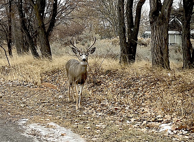
A buck wonders what's next after a brief snow flurry on Saturday morning.
Photo by Kurt Hildebrand.
A brief snow shower arrived in Genoa around 8 a.m. today before turning to .05 inches of rain and then giving up for a bit.
“Strong, gusty winds impact both the Sierra and western Nevada today,” said National Weather Service Reno Meteorologist Edan Weishahn. “Spillover rainfall arrives in Western Nevada today. Snow levels will drop to valley floors tonight into early Sunday with a few inches of accumulating snow possible.”
A wind advisory is in effect through 10 p.m. today with a winter weather advisory taking over then and lasting overnight to 10 a.m. Sunday.
Snow predictions for Minden have been revised downward to around 2 inches, but rain totals have increased to more than .8 inches, according to the Weather Service.
One of the windiest spots in Carson Valley, along Highway 88 just south of Mottsville, recorded a 59 mph wind gust at 6:20 a.m. with sustained winds around 30 mph.
Fredericksburg resident Jeff Garvin reported a 47 mph wind gust with .01 inches of moisture just before 6 a.m.
Maximum gusts at Minden-Tahoe Airport and Alpine View also hit 47 mph.
“In Western Nevada, strong and gusty winds will arrive just ahead of
spillover rainfall this afternoon with wind gusts 45 to 50 mph
possible,” Weishahn said. “Then once spillover rainfall begins, the winds should taper off quickly.”
Quarter to half-inch rain totals could cause nuisance flooding for areas with poor drainage or in town, according to the forecast.
“Late tonight, snow levels rapidly drop to Western Nevada valley floors with snow accumulations possible by early Sunday morning,” Weishahn said. “Lower valley amounts are in the 1-3 inch range, with the Carson Valley at the higher end of the range.”
A winter storm warning is in effect at Lake Tahoe with heavy snow of 18-28 inches at Lake level and 2-4 feet above 7,000 feet through 4 a.m. Monday.
Chains are required for all vehicles except four-wheel drive with snow tires over Kingsbury Grade and Highway 50 from Stateline to Carson City this morning.
Snow is flying this morning at Daggett Summit as the pavement on Kingsbury slowly disappears under the snow.
Travel is expected to be difficult across the mountains, according to the weather service.
High winds knocked over two semis traveling Highway 395 on Red Hill just north of Mono Lake, according to the California Highway Patrol.
High winds prevented righting the first semi that overturned at 2:20 a.m. Just two hours later, another semi overturned next to the first and was leaning down the embankment as of 6 a.m.
“By Monday morning, there will be lingering snow showers in the
Sierra, especially for Mono County,” Weishahn said. “Otherwise, clearing skies, snow-covered ground surfaces and a cold air mass behind the storm will result in some of the coldest temperatures of the season so far.”
There’s a possibility of another storm arriving on Thursday.

Comments
Use the comment form below to begin a discussion about this content.
Sign in to comment