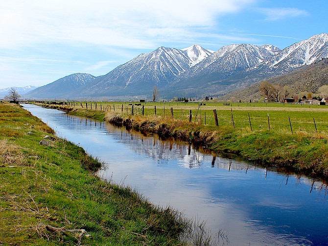
Thin clouds over Jobs Peak portend a change in the weather.
A cold spring storm is expected to bring high winds, freezing overnight temperatures and the possibility of rain or snow to Carson Valley by Monday.
While Friday was expected to approach 80 degrees, the highs are forecast to plunge to 50 degrees by Tuesday, with low temperatures forecast to hit 21 by Monday night.
On Friday, the California Department of Transportation announced it was closing Monitor Pass ahead of Monday's storm.
A high-wind watch has been issued for Carson Valley 10 a.m. to 8 p.m. Monday with 25-35 mph winds gusting to 65 mph in wind-prone areas.
“Gusty winds and dry conditions may result in a period of localized critical fire conditions, so avoid activities that may spark a fire,” forecasters said Friday morning. “Damage winds could blow down trees and power lines. Widespread power outages are possible. Road and air travel could be difficult.”
Forecasters say residents should be prepared to make sure they have food, water and flashlights or candles handy in case of an outage.
Warm weather is supposed to break on Saturday with temperatures dropping 15 degrees on the other side of the front.
“Early next week, a stronger Pacific storm will bring a sharp return to winter conditions,” the National Weather Service in Reno said in a statement. “Snow is expected to develop in the Sierra by Monday afternoon, with lighter snow spreading into lower elevations through Monday night. High temperatures early next week will be cooler by more than 30 degrees compared to this week’s warm spell.”
Flowering fruit trees may be affected by a spring freeze.

Comments
Use the comment form below to begin a discussion about this content.
Sign in to comment