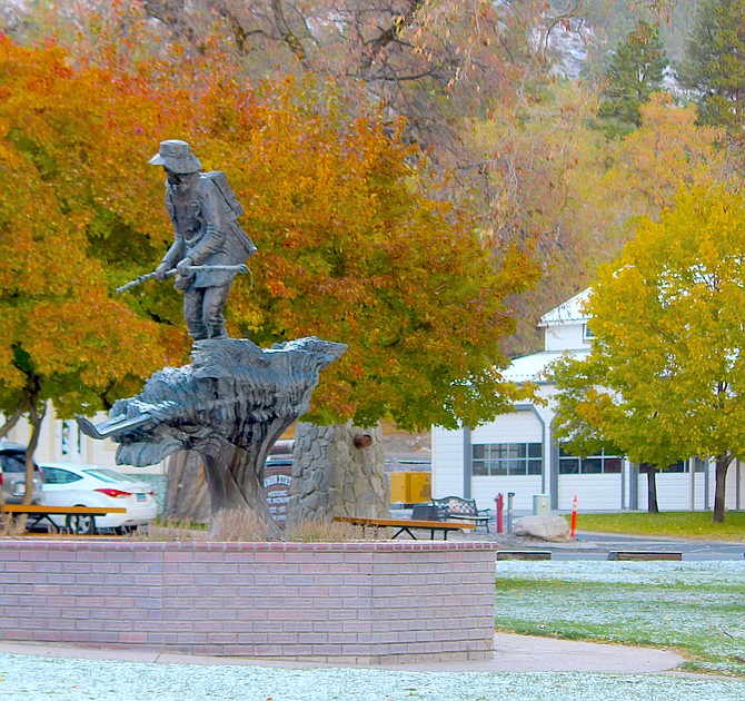
Light snow was still in the grass on Monday morning at Mormon Station State Historic Park in Genoa.
Photo by Kurt Hildebrand.
It’s common to hear that if you don’t like the weather in Nevada, "wait a bit and it’ll change." The same apparently goes for the forecast.
While National Weather Service forecasters are predicting a better than 50-50 chance of above average precipitation over the week leading up to Nevada Day, an experimental climate hazard map has reduced the chance for severe weather from moderate to minimal.
A quick-moving front brought blustery weather to Carson Valley on Wednesday morning. The outlook for precipitation turned out to be mostly hot air, though, with temperatures in the 50s before dawn.
The forecast includes a chance of rain through Thursday increasing on Friday.
“After a fairly modest system Friday, a potentially much stronger system is forecast for Sunday and Monday,” forecasters said on Wednesday morning. “Increasing confidence for periods of heavy rain, even in the mountains, (including) possible flood impacts on burn areas, urban flooding in poor drainage spots, and rockslides in steep terrain.”
Forecasters are looking at a moderate to strong atmospheric river arriving on Sunday night that could bring some Sierra cement to the higher elevations.
The storm could be warmer than the ones that have already seen snow in the Carson Range, with snow levels climbing to 7,000-8,000 feet. The mountains could see some Sierra cement with soaking rains at lower elevations.
Whether that translates into actual moisture in Carson Valley will be another question entirely.
Carson Valley has seen light snow in places twice so far this month, with .02 inches of precipitation recorded in Minden for the month.
That isn’t much, but it’s far better than the goose-egg recorded for the opening month of the 2020-21 water year.
The snow that has fallen in all but the highest reaches of the Sierra won’t survive the warm storm forecast for the end of the week, but any moisture in the mountains during fall is welcome.
One of the issues with last winter’s snowpack was the lack of fall moisture, which meant snowmelt had to soak into the soil before it could begin to run off.
That translated into reduced water flows in the Carson River with around 20 percent of its average flow reaching Carson City at the end of the water year Sept. 30.
It will take more than one atmospheric river to restore moisture to average levels, but a few big storms can make a big difference.

Comments
Use the comment form below to begin a discussion about this content.
Sign in to comment