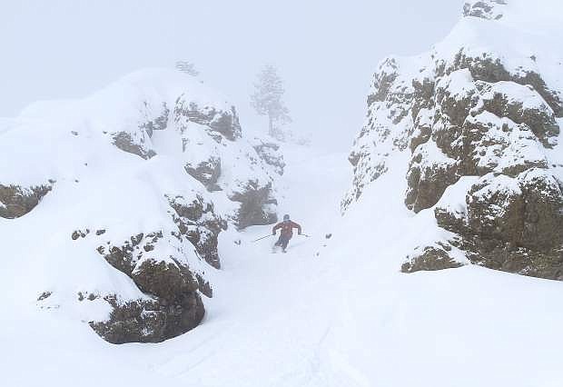
A skier charges through a gully at Kirkwood Mountain Resort.
LAKE TAHOE — With another storm on the way, Sierra Avalanche Center forecasters are cautioning the threat of a backcountry slide may fluctuate over the weekend. Backcountry travelers should take caution. Wind-loaded slopes and loose storm slabs could once again become a concern.
“Any time there’s going to be a storm, there’s going to be a chance for increasing avalanche danger,” Sierra center forecaster Steve Reynaud said Thursday. “Danger changes dramatically with the weather.”
The center had listed avalanche danger at moderate below, near and above treeline — level 2 on their five-tiered scale. The rating means human-triggered slides remain a possibility on slopes above a 30-degree angle.
The threat had been rated “considerable” or level 3 earlier in the week, but Reynaud said the previous storms had not delivered quite as much snow as anticipated.
While the threat level may rise again over the weekend, he explained the overall snowpack picture has been promising.
“We’re doing great. There’s usable snow pretty much down to lake level,” he said, describing it as a welcome change compared to recent down snow years. “It’s a great time to recreate.”
With substantial snowfall in December, he said the snowpack has been able to stabilize.
“We’ve transitioned from an early season (less-stable) snowpack to a mid-season snowpack,” he said. “The layering is getting more uniform and stable.”
For backcountry users, that means a lower avalanche risk outside of storm cycles. Users should always remember to check the Sierra Center’s forecast leading up to and on the day of any backcountry trip.
“Things can change pretty quickly out there,” he said.
The National Weather Service said the storm coming today was expected to bring a few inches of snow to the Sierra with around 6 inches along the Sierra Crest.
There’s a chance a secondary slider type band is going to form tonight and bring some snow to western Nevada.
Another fast moving weak storm is expected on Monday with most of the impacts expected in the Sierra. Wednesday through Thursday another storm is expected to impact the region. This storm is currently projected to be stronger than the first two but still not a blockbuster by Sierra standards, according to the Weather Service.
Looking ahead, Reynaud added, “It’s great to see storms lined up pretty much through the next week. Keep in mind, the avalanche danger will change.”

Comments
Use the comment form below to begin a discussion about this content.
Sign in to comment