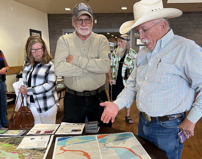
Photographer JT Humphrey and Commission Chairman Mark Gardner discuss flood maps on Tuesday at the Douglas County Community & Senior Center in Gardnerville.
Photo by Kurt Hildebrand.
There are plenty of challenges addressed in the Douglas County Strategic Plan’s draft, including traffic, workforce housing, infrastructure needs, keeping wages competitive and health care access.
But of interest during this 10th annual Nevada Flood Awareness Week is Douglas County’s geography, which is listed as both a strength and a threat, according to an analysis conducted as part of the update discussed by commissioners last week.
While citing the county’s “breathtaking scenic beauty,” with views of both sides of the Carson Range of the Sierra Nevada, they and the Pine Nuts pose a challenge in mitigating natural disasters.
At no time was that clearer then last winter when a Tonopah Low dumped more than 2 feet of snow across the Valley that melted in a March storm and sent flood waters into neighborhoods across the county.
At 11 a.m. today the county, the Nature Conservancy and the Army Corps of Engineers are hosting an event designating the newly installed sign marking the high water mark on the River Fork Ranch in Genoa.
The 800-acre ranch, located at the confluence of the east and west forks of the Carson River, was either under a blanket of snow or under water for most of the beginning of 2023. Several agencies were scheduled to participate in a flood awareness event on Tuesday.
On Thursday, county commissioners are scheduled to hear a presentation on the five-year flood audit under the Federal Emergency Management Administration’s rating system after proclaiming the week.
A proposal to purchase an 18.89-acre parcel along Redhawk Lane near East Valley and Fish Springs Road to construct a flood control basin toward the end of Pine Nut Creek is also before commissioners.
Owners of eight Spring Creek lots wrote on Oct. 27 in support of the basin saying they felt it would bring significant benefits.
However, former Community Development Director Mimi Moss wrote in opposition to the project on Nov. 7, expressing concern over the precedent that could be set for other conservation easements at the base of the Pine Nuts.
“Why would you extinguish a perfectly good conservation easement that already restricts any structures and requires the area left in open space?” she asked. “Because staff wants to use the majority of the parcel as flood mitigation, not conservation use or open space. Once a (basin) is built, the entire use of the parcel which was set up for the benefit of the Spring Creek residents in the easement is gone. Today, they can enjoy the area as long as the flood plain is left in its natural space.”
The property will cost $427,450 and design of the basin another $525,000. The estimate to actually build the basin is $7.6 million with two larger basins downstream costing another $26.8 million.
The largest single project on Pine Nut Creek would be a dam near the top of Fish Springs that is estimated to cost $24.1 million.

Comments
Use the comment form below to begin a discussion about this content.
Sign in to comment