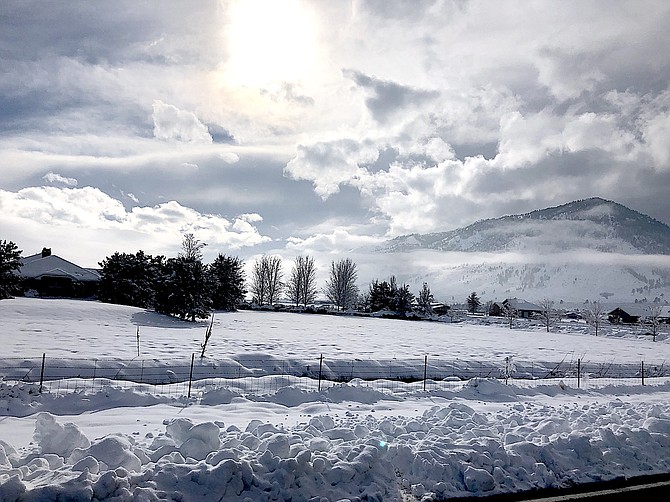
The landscape is silver and blue in this photo taken by Fredericksburg resident Jeff Garvin.
A new winter weather advisory for Carson Valley has been issued for 1-10 a.m. Thursday.
Forecasters are anticipating a mix of rain, freezing rain or snow after midnight tonight, according to a statement issued on Wednesday afternoon.
“Snowfall amounts ranging from 0-2 inches for valley floors, with 2-3 inches for areas above 5,000 feet including foothills. A lighg glaze of ice is possible as well.”
Forecasters are warning Thursday’s commute could be slippery with the highest risks for snow and ice in the Carson Valley and Carson City.
“Accumulations of snow and ice are most likely on bridges, overpasses and sidewalks,” according to the advisory.
National Weather Service Meteorologist Chris Smallcomb said the forecast is going to be complicated for areas below 5,500 feet.
“With a surge of warm air aloft associated with the precip tonight, we could easily be looking at a situation where some valleys have snow and freezing rain while other areas are just rain,” he said. “Be ready for anything.”
NV Energy workers had Jacks Valley Road down to one lane near the Washoe House while they raced the storm to finish fixing outages in Jacks Valley and Indian Hills.
As of 6 p.m. Wednesday, the largest group of power company customers without electricity was in the 89705 ZIP code where 44 homes and businesses were affected by a half-dozen outages.
The rest of the county had 33 customers affected by 17 customers.
While light flurries fell on Wednesday morning, most of the predicted moisture didn’t make an appearance.
In the Sierra, a classic wet snowstorm is in the forecast starting Thursday night.
“Significant travel disruptions should be expected along with increasing avalanche risks,” Smallcomb said. “Strong winds aloft could also mix down resulting in tree damage and power outages, especially in areas with heavy snow caked to trees already.”

Comments
Use the comment form below to begin a discussion about this content.
Sign in to comment