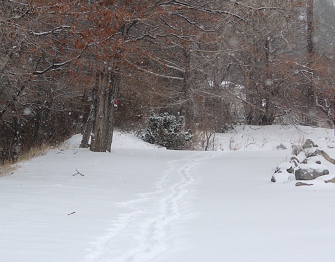
Tracks in the snow on a country lane in Genoa.
Frosty conditions may make driving this week more hazardous than the actual snowfall on Tuesday morning.
“High temperatures are unlikely to get out of the 30s, even in the warmest of valleys, with teens and 20s in the mountains,” National Weather Service Forecaster Dawn Johnson said on Tuesday. “Overnight lows look to be coldest tonight, especially as skies begin to clear out. Anticipate widespread teen and single digit low temps with below zero in colder Sierra valleys.”
A second snowy morning in a row brought precipitation to Carson Valley on Tuesday, as a colder storm arrived late Monday night.
State government and Western Nevada College delayed opening by two hours due to slick conditions.
Douglas County schools are out this week for winter break.
About 3.5 inches of powder fell north of Genoa by 7 a.m. when it started to let up, but the breeze caused drifts in places.
The snow packed down to a slick layer on Carson Valley Roads with Genoa Lane completely white.
First-responders dealt with several incidents, including one at the Buckeye Road roundabout, where ice complicated Tuesday’s commute.
Conditions at Center and Topsy east of Highway 395 were described as extremely slick.
There were also slip and falls across the county with a report that a man had broken his leg at one of the casinos in Stateline.
Minden weather watcher Stan Kapler reported an inch of snow fell in the Douglas County seat. That’s more than the last two February storms combined.
The weekend brought a foot of snow to Heavenly Mountain Resort, according to its Web site.
High temperatures are forecast to hit 33 degrees under partly cloudy skies today, with the wind out of the northwest at 5-15 mph, gusting to 25 degrees.
The low temperature tonight could drop down to 4 degrees. Temperatures aren’t expected to warm up past the mid-40s until Sunday, as a new storm arrives with a possibility of snow showers down to 4,700 feet.
Previous story
If you’re heading into work this morning, it’s a good idea to take it easy because chain controls are in effect across Western Nevada and over the Sierra this morning.
“Roads could remain rather dicey in the Sierra today while any heavier snow showers could produce brief periods of travel difficulties in Western Nevada,” National Weather Service Reno Meteorologist Dawn Johnson said. “Usually, it would be harder to get daytime roadway accumulations in late February but given the anomalously cold air mass and cloudy conditions it’s certainly not out of the question.”
As of 4:30 a.m. today, the only location on Highway 395 requiring chains on vehicles without four-wheel drive and snow tires is just south of Indian Hills. That’s likely to change as the morning wears on with traffic cameras at Double Spring Flat and Holbrook Junction show snow falling in the Pine Nuts.
Chains or four-wheel drive with snow tires are required on every road leading to Lake Tahoe this morning, all of which are showing actual snow on the highway.
Since last night, the Nevada State Police responded to seven collisions on Interstate 80 between Sparks and Golconda. Icy conditions on the freeway in north central Nevada has prompted the state to declare adverse driving conditions.
The slider storm left 2 inches of fine powder in Genoa on Tuesday morning.
Snow started falling at round 1 a.m., according to the Minden-Tahoe Airport Automated Weather Observing System.
Overnight temperatures remained at or just under freezing for most of the night.

Comments
Use the comment form below to begin a discussion about this content.
Sign in to comment