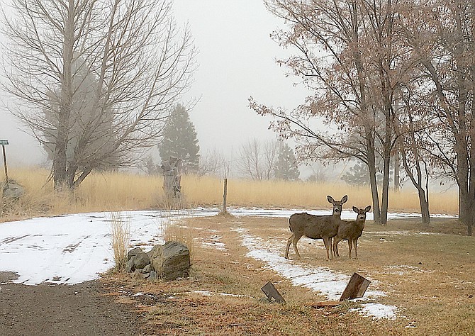
Deer along a snowy lane north of Genoa on Sunday morning.
Freezing fog decreased visibility in Carson Valley down below a quarter mile on Sunday morning.
Minden-Tahoe Airport’s automated weather system recorded visibilities of under a quarter mile from 5:15 to 7:35 a.m., with the fog lifting in the center of the Valley by 8:15 a.m.
Minden reported 2 inches of snow from Saturday’s storm, while Heavenly Ski Resort reported 4 inches.
Visibility will increase across the Valley as winds ahead of the next front sweep out the fog. The wind is expected to pick up to 10-15 mph, gusting to 30 mph, just after lunchtime today.
Valley residents could see snow showers starting around 4 p.m. with a winter weather advisory going into effect at 7 p.m. That advisory predicts 1-2 inches of snow overnight, complicating Monday morning’s commute.
The National Weather Service in Reno has issued a winter storm watch for Carson Valley 10 p.m. Tuesday through 4 p.m. Thursday. That storm could bring 1-4 inches of snow to the Valley and as much as 3-6 feet above 7,000 feet.
High winds in the mountains could lead to white-out conditions during the middle of the week.

Comments
Use the comment form below to begin a discussion about this content.
Sign in to comment