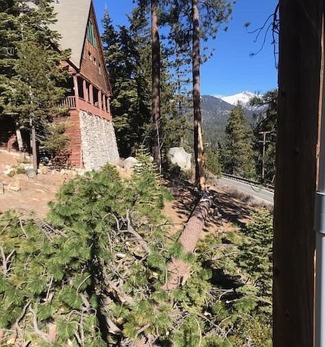
A tree downed by the wind at Lake Tahoe on Tuesday.
The mere possibility that it might snow this weekend shouldn’t be news three-quarters of the way through January.
But after a month without a single flake of snow in Carson Valley and not much more on the mountains, even the hint of precipitation is welcome.
Forecasters are calling for colder temperatures and a chance of snow accumulating to the valley floors on Friday and Saturday.
While calm conditions are expected today, winds will start to shift late tonight.
Light snow could fall starting Friday night as the front passes. Snow levels are predicted to drop below 4,000 feet. Snow returns to the forecast on Sunday and could complicate the commute on Mondy morning.
So far, January has seen .04 of the average inch of rain in Minden and no snow, according to National Weather Service records.
That’s after a December that saw only a trace of snow and .74 inches of precipitation, more than a half-inch less than average.
The winter months of December, January and February typically have the highest precipitation in Minden, where records have been kept since 1906.
January averages 1.47 inches of moisture and 4.3 inches of snow, while February has 1.15 inches of moisture and 3 inches of snow.
Even Lake Tahoe is seeing way more wind than snow for the first weeks of 2021.
On Tuesday, high winds knocked down trees and electricity to nearly 1,200 NV Energy customers. The power went off at 6:35 a.m. and wasn’t restored until 1:30 p.m. to most customers.
A cold north wind was clocked at 54 mph in Glenbrook and 60 mph at Meyers in El Dorado County.
The winds shut down lifts at Heavenly and Kirkwood ski resorts.

Comments
Use the comment form below to begin a discussion about this content.
Sign in to comment