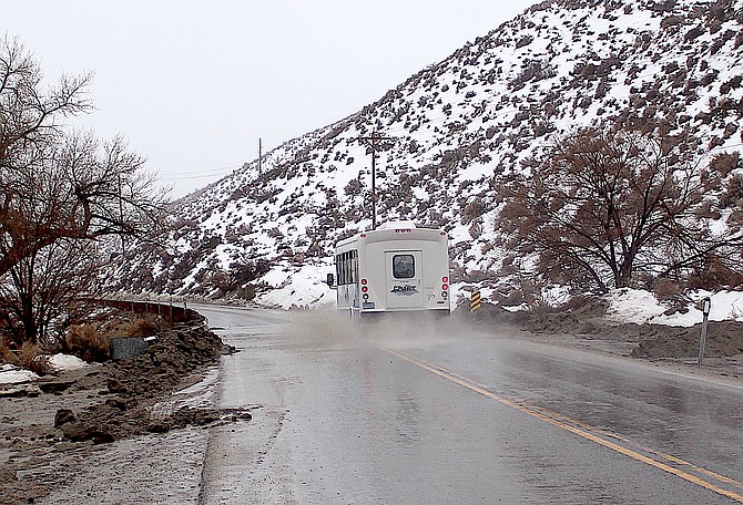
The Douglas Area Rural Transit bus traverses a wet part of Foothill Road on Monday morning.
Photo by Kurt Hildebrand.
Centerville Lane reopened on Tuesday morning after being closed west of the Highway 88 Roundabout due to high water, according to Douglas County.
Heavy rain on Monday filled streams and ditches across the county, with flooding reported in Fish Springs' Pine Nut Creek.
Centerville crosses several ditches associated with the West Fork of the Carson River.
County officials said the road will remain closed for the time being.
"As always, never drive through floodwater and make sure to check out the Douglas County Alert Page for more information," according to the county.
A flooding advisory expired at 4 p.m. even as the East Fork of the Carson River filled to its banks from the old power dam to Genoa.
Water flowing over Highway 395 near Wiseman Lane resulted in a brief closure while state and county officials cleared debris off.
"We currently have highway maintenance supervisors dispatched to review this specific area and will be determining shortly if a closure or other traffic control is needed," Nevada Department of Transportation spokeswoman Meg Ragonese said on Monday morning.
A Douglas County deputy reported the highway reopened at around 10:40 a.m., but that there was still water flowing over the road.
"Due to the heavy amount of precipitation, we advise against unnecessary travel. Those who do need to travel can visit NVRoads.com, dial 511 or download the Nevada 511 app for updated highway conditions before traveling."
A deputy reported rocks on the roadway a mile down from the 6,000 foot marker on Kingsbury.
Roadways in Carson Valley as a flood advisory is in effect for Alpine and Douglas counties through 4:30 p.m.
“Minor flooding in urban, poor drainage, and locations where snow and debris may block water flow,” according to the advisory. “Plan on water over roadways, as well as rock falls in canyons and steep terrain.”
The East Fork of the Carson River below Markleeville Creek has already exceeded the forecast level with 5.1 feet and climbing as of 10:30 a.m. The previous forecast called for it to crest at 5 feet at 8 p.m. Monday. That translated to a spike downstream near Horseshoe Bend to 11.09 feet about four hours early.
Due to heavy snow and multiple vehicle spinouts, Caltrans has closed part of Highway. 395 in Mono County from the junction of State Route 203 to Bridgeport.

Comments
Use the comment form below to begin a discussion about this content.
Sign in to comment