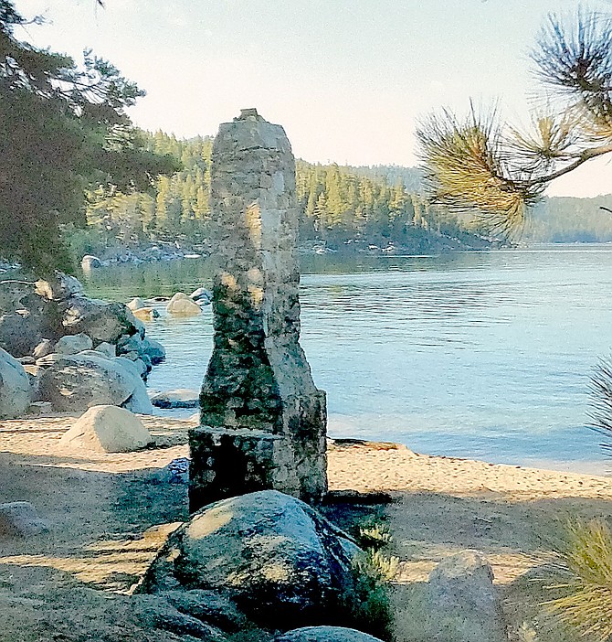
The chimney after which Chimney Beach is named.
Julie Duda | Special to The R-C
To preserve paradise, Lake Tahoe agencies are literally putting up a parking lot. More than one, in fact.
On Wednesday the Tahoe Regional Planning Agency Governing Board approved a parking improvement project at the Chimney Beach Trailhead that will expand the current lot from 21 to 130 spaces.
An equivalent number of spaces will be removed along the roadside and shoulder of Highway 28 between Spooner and Sand Harbor state parks.
By the time all the various parking projects along the corridor are completed, there will be 1,795 parking spaces, including private business district parking.
“It is estimated that more than 70 percent of fine sediment harming Lake Tahoe’s clarity is coming from roadways and urban upland areas,” officials said.
Construction is expected to last through October 2023 with some construction activities to be completed early next summer. Although the parking lot will be closed, trails will remain open during construction.
“Improving safety and parking along the lake’s East Shore corridor is a high priority in our regional transportation plans,” said TRPA Executive Director Julie Regan. “The Chimney Beach parking lot is an integral component to remove parking off the road, reduce congestion, and provide residents and visitors safe access to public lands and the lake.”
The project is part of both the Lake Tahoe Basin Management Unit’s SR-28 Shared Use Path, Parking, Safety, and Environmental Improvements Project and the Nevada State Route 28 Corridor Management Plan. The larger vision for the corridor includes additional parking management and technology, continuation of the East Shore Trail to Spooner Summit, more frequent transit and additional transit stops, and construction of a mobility hub at Spooner Summit in far northwest Douglas County.
“The East Shore contains some of the most scenic landscapes in the Lake Tahoe Basin and many popular remote recreation destinations,” said LTBMU Forest Supervisor, Erick Walker “These parking areas are generally at or above capacity during the summer season and parking overflows onto the highway shoulder. The project will address potential conflicts between pedestrians and vehicle traffic as well as the potential hindering of the movement of emergency vehicles.”
The upgraded parking area will be constructed with water quality best management practices to treat stormwater and runoff before it leaves the site as well as improved trash containment. Further improvements to the trailhead will include restrooms, transit pullouts, a pedestrian crossing, and infrastructure to support a future parking management system.
Thirteen partner organizations are involved in implementing the Nevada corridor plan. Funding has been committed through federal and state sources as well as contributions from the Tahoe Fund, a nonprofit which has committed up to $3 million in private donations to projects in the corridor. Earlier improvements including the first section of the East Shore Trail from Incline Village to Sand Harbor Nevada State Park, which included successful removal of roadside parking in the corridor.
“These improvements are not just about providing safer and more accessible parking options,” Tahoe Transportation District Executive Director Carl Hasty said. “They are also laying the groundwork for a future parking management system. With a system in place, we can further enhance safety and reduce roadside parking around the Lake Tahoe basin, making outdoor recreation more sustainable for everyone.”
Those interested can view the LTBMU SR-28 Corridor Management Plan Decision Notice and Environmental Assessment.
For more information on this project, contact Mike Gabor at mike.gabor@usda.gov.

Comments
Use the comment form below to begin a discussion about this content.
Sign in to comment