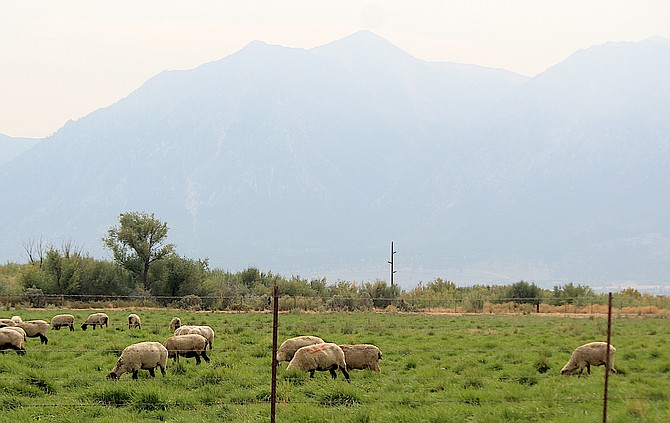
Sheep graze as haze converts Jobs Peak into a faint outline on Saturday afternoon before another wave of smoke arrived in the Valley. Forecasters say more smoke is forecast to arrive Sunday evening.
Photo by Kurt Hildebrand.
Another wave of smoke from the 41,443-acre Mosquito Fire is forecast for Sunday evening, according to the National Weather Service.
“While minor improvement is possible by late morning due to low level mixing, smoke modeling depicts another swath of smoke moving in once again across the Tahoe Basin and Sierra Front late this afternoon and evening which could worsen air quality and reduce surface visibility to around 1-3 miles,” National Weather Service Meteorologist Mark Deutschendorf said on Sunday morning. “Overall, not a good time to be outdoors.”
The worst of the smoke held off until after 6 p.m. on Saturday allowing several outdoor events to proceed, including Burgers and Badges and a big car show in Genoa.
An air quality sensor in Nevada’s oldest town had a reading of 227 or very unhealthy at 9 p.m. Saturday, while a Minden sensor peaked at 188 at the same time.
Smoke began to pour into the Valley around 6 p.m. with Minden-Tahoe Airport’s automated weather system showing visibility down to three miles until 8:35 p.m. when the wind shifted.
On Sunday morning, Minden’s air quality index was down to 118, which is unhealthy for sensitive groups. The Genoa sensor showed an index of 186, or well into the unhealthy range. A sensor at Stateline indicated very unhealthy conditions with a reading of 242.
“Degraded air quality persists across the Tahoe Basin and Sierra
Front with area sensors reporting unhealthy to hazardous air quality due to yesterday's smoke influx from the Mosquito wildfire,” Deutschendorf said.
How long smoke will linger in Western Nevada depends on progress made in fighting the fire burning 50 miles due west of Minden.
On Sunday morning, firefighters reported getting a line around a tenth of the blaze, which added 7,700 acres since Saturday morning.
“Fire activity moderated Saturday night as humidity increased, fire officials said. “Smoke and clouds over the fire Sunday should somewhat reduce fire behavior, although the vegetation remains critically dry and is burning readily.”
The reduced fire behavior will give firefighters an opportunity to take direct action in slowing down the blaze.
“Where they are unable to get close to the fire's edge, they are using indirect tactics, such as using heavy equipment to create new fireline or open firelines from previous fires that have since grown over with brush and trees,” according to Sunday’s update.
Satellite mapping indicates the fire is mostly burning east into the Sierra while there have been indications of some westward movement near Volcanoville.
As of Sunday morning, there has been no report of structures lost to the flames, though a reported 5,848 are threatened. More than 11,000 residents have been evacuated from the fire area as the number of firefighters grew to more than 1,800.
The estimated containment of the fire, which has cost $12.3 million to fight as of Sunday morning, is mid-October.
Forecasters say that could change should rain from the remnants of Hurricane Kay reaches the site.
“If the smoke production is reduced during the upcoming week, the overall weather conditions would be quite pleasant for most outdoor activities, especially later in the week into next weekend,” Deutschendorf said.

Comments
Use the comment form below to begin a discussion about this content.
Sign in to comment