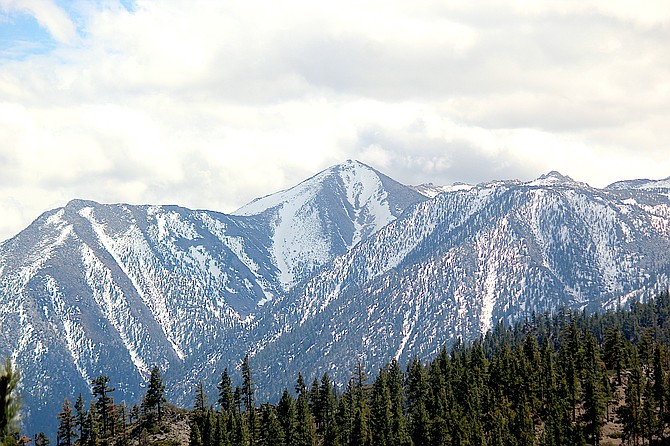
Jobs Peak as seen from Kingsbury Grade on Friday afternoon.
Forecasters say residents an expect gusty winds and snow, with accumulations of 4-10 inches along the Sierra crest and 1-4 inches below 7,000 feet.
Sustained winds of 20-30 mph, gusting to 55 mph, are expected to drive 2-4-foot waves on Lake Tahoe with some spots seeing 5-foot waves.
“The most likely time for accumulating snowfall is during the evening hours,” forecasters said. “However, any convective snow showers may produce sufficient snowfall rates to result in an earlier onset for accumulation on the roads.”
Monday morning commuters over Kingsbury Grade and Spooner Summit could see slick conditions from Sunday night’s snowfall.
The California Department of Transportation is closing Monitor Pass at noon Sunday in anticipation of the storm.
A wind advisory is in effect 11 a.m. to 8 p.m. today in Carson Valley.
The Valley could see southwest winds of 20-25 mph increasing to 25-30 mph in the afternoon. Wind gusts are anticipated to hit 45 mph with a 50-50 chance of precipitation during the day.
But mostly residents will see more wind and cooler temperatures as a series of fronts rolls through Western Nevada.
“Temperatures will drop to around 15 degrees below average by Sunday with highs only reaching the mid-50s in Western Nevada and the low 40s in the Sierra,” National Weather Service Meteorologist Zach Tolby said. “Temperatures will continue to cool a few more degrees Monday into Tuesday with a slow warm-up by the end of the week.”
Forecasters are predicting 3-4 inches of snow along the Sierra passes on Sunday and Sunday night with an inch or two possible around the basin. There may be some light snow in the Valley, but winds with gusts of 30-40 mph are far more likely.
Heavier mountain snow may arrive around Tuesday as low pressure settles over the region.
On Friday, Western Nevada was sandwiched between a high wind warning to the north and a red flag warning to the south.
In the middle, Carson Valley is under a wind advisory through 2 a.m. today.
Residents should prepare for electrical outages over the weekend with the possibility of trees blowing into power lines. A power outage affected 49 customers in downtown Genoa 5:37 p.m. Thursday, according to NVEnergy.com. Power wasn't restored until around midnight.
After a brief bump due to the storms in April, the Sierra snowpack raced to the bottom over the past two weeks.
Carson Pass had 1.6 inches of moisture locked in the snow as of May 6, down from 9.5 inches on April 22.
Ebbetts Pass at the top of the Carson River’s East Fork is faring a little better with a snow-water equivalent of 4.8 inches on Friday morning. That’s down from its April 23 peak of 15.2 inches.
The Carson River Basin is running 29 percent of average snow-water equivalent, according to data maintained by the Natural Resource Conservation Service.
The Walker River Basin climbed back into average territory for the year at 55 percent as melt-off slowed over the past month.
Sonora Pass was at 8.4 inches as of Friday morning, contributing to the increase levels.
Both Sonora and Ebbetts passes remain closed as California Department of Transportation workers clear snow and debris off the highways through the Sierra. The Walker River feeds Topaz Lake in southern Douglas County.

Comments
Use the comment form below to begin a discussion about this content.
Sign in to comment