The snow line at Hope Valley was around 7,000 feet on Wednesday, which means all that snow may wind up melting into the West Fork this weekend.
Tim Berube | Special to The R-C
Genoa, Nev. — The East Fork of the Carson River is forecast to crest 8 p.m. Saturday at 14.3 feet, which is full on flood stage, according to U.S. Geological Survey data assuming around 3 inches falling between this morning and Saturday afternoon.
The Carson gauge is cresting at midnight, so I suspect the river below Genoa at Willow Bend will crest right around 10-11 p.m. As with all forecasts things may get better or worse as Saturday progresses.
The flood watch begins 7 a.m. today and will last until 4 a.m. Sunday. The wind advisory starts at 10 a.m. today and lasts until 4 p.m. Saturday.
The usual go-to for river observations appears to be down this morning. I’m using River gauges instead, which is showing Woodfords, Markleeville and Carson gauges above monitor level.
Alpine County has established sandbag fill stations at Fire Station 91 and Fire Station 92 in Markleeville in anticipation of possible debris flows and flooding from the Tamarack Fire burn.
The only road controls out this morning are the usual high wind prohibition through Washoe Valley and chains or four-wheel drive with snow tires over Mount Rose. It’s really warm out this morning, so I don’t expect that to significantly change this morning.
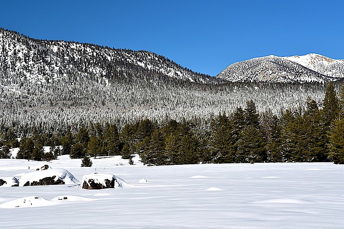
The snowpack in the high Sierra is at 171 percent of average for Dec. 30 at Ebbetts Pass which is only a smidge higher than today in 2021. It’s actually lagging at Carson Pass. The warmth of this storm will determine where we stand on Monday.
It was 48 degrees at Minden-Tahoe Airport at 5:35 a.m. as the wind picks up this morning. That’s warmer than Thursday’s high by 5 degrees. The record warmest low temperature for today’s date was 47 degrees set in 1995. The record warmest low temperature for New Year’s Eve was 38 degrees set in 2005.
Expect southwest winds 15-20 mph increasing to 20-25 mph this afternoon with rain already a certainty, but more so after 1 p.m. The Valley will see around a half-inch in places.
Kurt Hildebrand is editor of The Record-Courier. Reach him at khildebrand@recordcourier.com or 775-782-5122.

Comments
Use the comment form below to begin a discussion about this content.
Sign in to comment