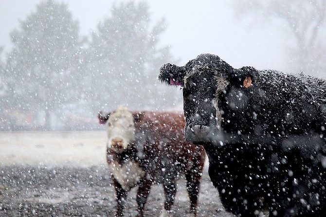
A brief blast of snow gathers on the back of a Ranch No. 1 cow in Genoa on Saturday morning.
Mother Nature gave Carson Valley a brief peck on the cheek Saturday morning before clearing out and leaving sunny skies for Valentine’s Day.
A third weaker storm is anticipated to arrive bringing a chance of rain tonight and into Washington’s Birthday bringing less than a tenth of an inch to the Valley.
In the meantime, Valentine’s Day is expected to be mostly sunny with a high temperature of 46 degees.
The break in the weather will offer a little love for travelers over the Sierra today, according to the National Weather Service.
“Sunday will be the preferred day to travel if you are looking to get over the Sierra passes over the Sierra passes over the holiday weekend,” forecasters said.
A winter weather advisory goes into effect for the west side of Lake Tahoe from midnight to 4 p.m. Monday above 7,000 feet.
The Washington’s Birthday storm is expected to drop 3-6 inches of snow on the passes. It will also bring winds of 30-45 mph during the day.
A brief blizzare on Saturday brought snow to Carson Valley, though it was too warm to stick on the ground.
Minden saw .32 inches of precipitation since Friday, with a gauge a mile north of Genoa receiving an inch over the past three days.
On Sunday, Heavenly Ski Resort reported receiving 17 inches of snow over the past week, with 6 inches over the previous 48 hours. Kirkwood reported 20 inches over the last week, with 8 inches over the previous 48 hours.
Despite the storms from the last two weeks, the snowpack in the Carson River Basin is still running behind.
According to Natural Resources Conservation Service snow telemetry, the Carson River Basin is at 84 percent of average snow-water.
Ebbetts Pass at the top of the East Fork is at 87 percent, while Carson Pass at the top of the West Fork is reading 79 percent.
A few mid-elevation sites like Hagans Meadow, Poison Flat and Spratt Creek have readings of 100 percent or higher of average, but they are also among the first to melt.
Despite being slammed by the Jan. 28 storm, the Walker River Basin is also running behind at 76 percent of average for Sunday.
Generally, readings in the middle of winter must trend higher than 100 percent in order to deliver full capacity in the spring.

Comments
Use the comment form below to begin a discussion about this content.
Sign in to comment