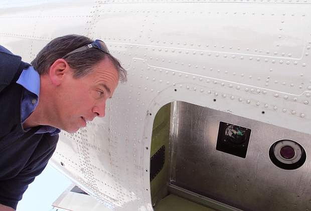
Tom Painter, principal investigator on an aerial snow survey program for NASA and the California Department of Water Resources, looks at instruments on the bottom of a plane used to conduct the surveys at Lake Tahoe Airport Friday morning. Adam Jensen / Tahoe Daily Tribune.
NASA could soon help backcountry skiers and snowboarders plan their next tour.
Aerial snow surveys of the Tuolumne River Basin began a month ago as part of an effort to give California more accurate estimates of the water held in the Sierra Nevada snowpack.
Researchers from NASA’s Jet Propulsion Laboratory and the California Department of Water Resources showed off the technology at Lake Tahoe Airport Thursday morning.
By using a combination of sensing equipment mounted in the bottom of a twin-prop plane, scientists will be able to fill in a major missing puzzle peace in the snowmelt equation. Direct solar radiation accounts for about 90 percent of snowmelt, but can’t be measured using traditional on-the-ground surveys and remote sensors, said Tom Painter, the principal investigator on the aerial surveys for NASA’s Jet Propulsion Laboratory.
The data gathered from the aerial surveys can be displayed in detailed maps showing how much snow remains in specific areas, even terrain in the High Sierra, well above currently existing remote sensing technology.
“There’s still a lot of snow up there that we don’t know anything about,” said Frank Gehrke, chief of the California Cooperative Snow Surveys Program.
The data gathered can also be made available to the public within 24 hours of collection, Painter said.
Because of the precision of the technology and its nearly real-time availability, the information gathered could have a wide range of unanticipated uses, including wildlife management, wildfire preparedness and even recreation, Gehrke said. For example, someone backpacking the Sierra Nevada would be able to see how much snow is left along the Sierra Crest.
“There will be uses we didn’t even think of,” Gehrke said.
“Oh, it’d be huge,” Gehrke added about the possibilities for backcountry skiers and snowboarders. They’d be able to see accurate, up to date basin-by-basin snowpack totals for remote areas, he said.
“It many cases it can determine what the vegetation is,” Gehrke said about the technology’s precision.
The aerial snow survey project is currently funded through three years and focuses on the Tuolumne River Basin. With the lack of snow, researchers could gather baseline data for the major watersheds in the southern Sierra this year, Gehrke said. Painter said he sees the program expanding, but the timeline is funding dependent and large swaths of the mountain range could be surveyed from the air is unknown.
The aerial efforts will still work in conjunction with the traditional on-the-ground surveys, Gehrke added.
The last snow survey of the year, on Friday, found the Sierra Nevada snowpack is at just 17 percent of normal for this date. Surveyors found no snow at a survey site near Echo Summit.
Initial results of the aerial surveys are not yet available online. Data from the flights is expected to be posted at http://aso.jpl.nasa.gov as it becomes available.

Comments
Use the comment form below to begin a discussion about this content.
Sign in to comment