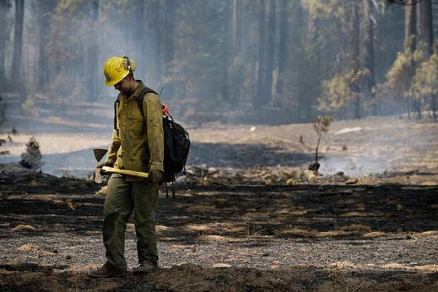
Firefighter Troy Drouin takes a short break before mopping up hot spots near Yosemite National Park, Calif., on Wednesday, Aug. 28, 2013. The giant wildfire burning at the edge of Yosemite National Park is 23 percent contained, U.S. fire officials said Wednesday. (AP Photo/Jae C. Hong)
GROVELAND, Calif. — Firefighters battling the giant wildfire burning in the Sierra Nevada added a California National Guard Predator drone to their arsenal Wednesday. It gives them almost-immediate views of any portion of the flames chewing through rugged forests in and around Yosemite National Park.
The MQ-1 unmanned aircraft being remotely piloted hundreds of miles away quickly alerted fire bosses to a new flare-up they otherwise wouldn’t have immediately seen.
“They’re piping what they’re seeing directly to the incident commander, and he’s seeing it in real time over a computer network,” said National Guard Lt. Col. Tom Keegan.
Previously, ground commanders relied on helicopters that needed to refuel every two hours.
The 12-day-old Rim fire continued to grow, expanding to 292 square miles, and containment remained at 23 percent. Increasingly confident fire officials said they expect to fully surround it in three weeks, although it will burn for much longer than that.
“It’s looking better every day,” said incident spokesman Glen Stratton.
While unmanned aircraft have mapped past fires, use of the Predator will be the longest sustained mission by a drone in California to broadcast information to firefighters in real time.
The plane, the size of a small Cessna, will remain over the burn zone for up to 22 hours at a time, allowing fire commanders to monitor fire activity, determine the fire’s direction of movement and the extent of containment, and confirm new fires ignited by lightning or flying embers.
The drone is being flown by the 163rd Wing of the California National Guard at March Air Reserve Base in Riverside and is operating from Victorville Airport, both in Southern California. It generally flew over unpopulated areas on its 300-mile flight to the Rim fire. Outside the fire area, it will be escorted by a manned aircraft.
Officials were careful to point out the images are being used only to aid in the effort to contain the fire.
The Rim fire started Aug. 17 and quickly exploded in size, becoming one of the 10 largest California wildfires on record. Its progression slowed this week when it moved from parts of the forest with thick underbrush that had not burned in nearly a century to areas that had seen fire in the past two decades.
But it will burn for months, possibly until California’s dry season ends this fall.
“My prediction is it will burn until we see rain,” said Hugh Safford, a regional ecologist with the U.S. Forest Service.
That means the smoke could continue to foul air in the Carson City, Douglas County and Lake Tahoe areas.
The air quality index in the Reno area still had improved only to the “unhealthy” level, and in Douglas County schoolchildren were kept indoors again when the index registered in the “hazardous” category Wednesday morning.
The air was clear, however, in the tourist mecca of Yosemite Valley, home to the towering Half Dome and El Capitan rock formations and the 2,425-foot plunge of Yosemite Falls.
The Rim fire has destroyed 111 structures, including 11 homes, and posed a threat to ancient giant sequoias.
The fire also has threatened San Francisco’s water supply at the Hetch Hetchy Reservoir, but Stratton said it was burning itself out as it approached and that crews were lighting back burns to push it back into the wilderness.

Comments
Use the comment form below to begin a discussion about this content.
Sign in to comment