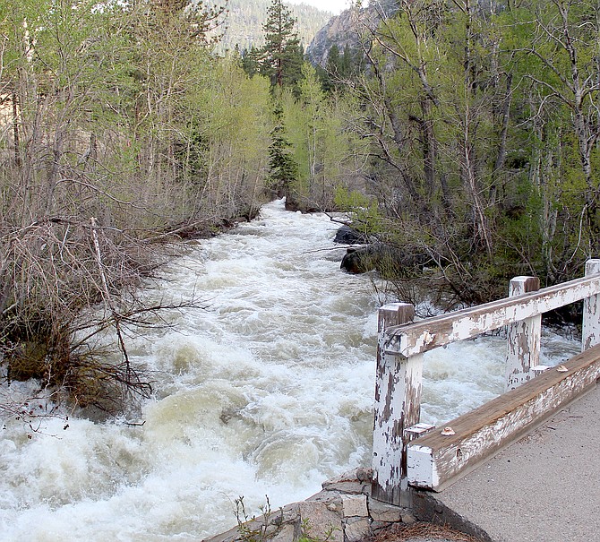
The West Fork of the Carson River was running high on Tuesday morning thanks to snowmelt.
Photo by Kurt Hildebrand.
A flood watch takes effect 1-10 p.m. today due to the possibility of flash flooding from thunderstorms.
National Weather Service Reno forecasters say slow moving thunderstorms could produce areas of heavy rainfall.
“Soils are already saturated with creeks, streams and river running full due to ongoing snowmelt,” according to the watch. “It will not take much rain to cause excessive runoff and potential flooding issues today.”
As of 12:30 p.m. Weather Service radar showed storm systems building over the Sierra, which could end up drifting northeast into Carson Valley.
“Excessive runoff may result in flooding of rivers, creeks, streams and other low-lying and flood-prone locations,” forecasters said. “Area creeks and streams are running high and could flood with more heavy rain.”
The watch covers much of the region from the Sierra crest to Elko and from Bieber in Northern California south to Mammoth Lakes.
The forecast calls for a chance of showers and thunderstorms with showers after 2 p.m. and a high temperature near 72 degrees.

Comments
Use the comment form below to begin a discussion about this content.
Sign in to comment