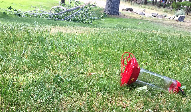
The wind on Thursday knocked down a hummingbird feeder and a tree branch north of Genoa.
It has been 43 years since the last few days of spring have seen high temperatures in the 60s.
But the high is forecast to drop to 64 degrees Saturday as Carson Valley’s late spring temperature roller coaster continues, just a week after Minden recorded the hottest temperature so far in 2022 at 94 degrees on June 11.
The record lowest high temperature for June 18 was set in 1979 with a chilly 55 degrees, the record low for June 19 was 65 degrees set the same year.
After gusty winds on Thursday and Friday, the change in the weather will see a 6,200-foot snow level this morning with a slight chance of light showers in the morning and thunderstorms in the afternoon.
June has yet to see any measurable precipitation recorded in Minden where records have been kept since 1906, though other parts of the Valley have seen small amounts of moisture.
The last measurable precipitation in the Douglas County seat was .02 inches on May 9. Minden has only seen .76 inches of precipitation this year, far below the average of 5.57 inches.
According to the National Weather Service in Reno, the snow level will rise to 7,500 feet in the afternoon, with mostly sunny skies and the wind out of the north at 5-10 mph.
Tonight’s low is expected to drop down to 37 degrees after another blustery evening.
Saturday will be calm and cool, with the high forecast at 73 degrees.
High temperatures are expected to climb back into the 90s in time for the first full day of summer on Wednesday.
The peak wind gust in Carson Valley was 48 mph, recorded southwest of Gardnerville at 1:30 p.m. Thursday.

Comments
Use the comment form below to begin a discussion about this content.
Sign in to comment