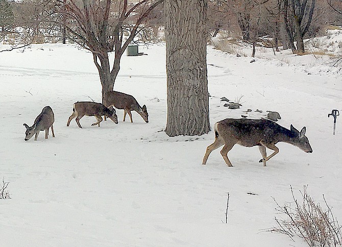
Deer forage for food on New Year's Eve afternoon in Genoa.
High winds are expected to set holiday decorations dancing on Monday as a new front blows into Carson Valley.
A winter system won’t bring much precipitation, but southwest wind gusts of up to 30 mph are expected to start around 10 a.m. at Minden increasing to 50 mph by 7 p.m. and not slowing down until early Tuesday morning.
The National Weather Service in Reno issued a high wind watch for noon Monday through 4 a.m. Tuesday.
Winds of 20-40 mph could gust up to 70 mph in more wind-prone spots.
High profile vehicles, like semis and motorhomes, will find themselves buffeted along highways 395 and 88 in Carson Valley.
Blowing snow could close major highways through the Sierra on Monday night. Anyone with plans to travel to California should leave today or early Monday to avoid any weather-related closures.
Winds could also blow down trees and power lines bring power outages, forecasters warned, asking residents to be prepared ahead of time by having food and water, flashlights, or candles in case of a power outage.
There’s a chance of snow before 10 p.m. Monday and then a chance of snow and rain after midnight. The forecast calls for a high of 43 degrees on Monday and low of 30. Another storm is expected to arrive early Friday morning with the snow level dropping from 6,900 to 5,700 feet. By Friday night the snow level is expected to drop to 4,700 feet with a chance of light snow in the foothills.

Comments
Use the comment form below to begin a discussion about this content.
Sign in to comment