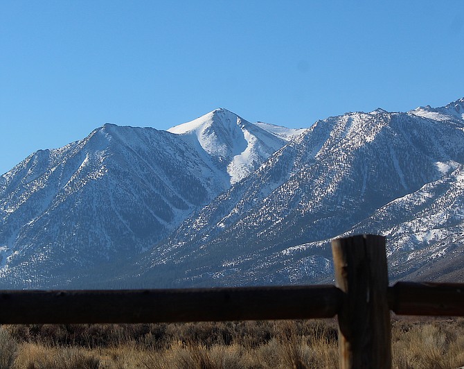
Jobs Peak is as white as George Washington's wig on Friday morning and could get a little whiter on the first president's birthday.
A new cold front could bring a little snow and icy temperatures overnight with lows dropping to 11 by Tuesday, according to the National Weather Service.
The first two-thirds of the Washington’s Birthday weekend are expected to be warm with highs climbing above 60 degrees on Saturday, a good 10 degrees warmer than average.
Sunday will be warm as the storm approaches, with the wind increasing out of the west to 25-35 mph in the Valley and 50-60 mph along the Sierra Crest.
The front is expected to arrive late Sunday night into Monday, bringing a 15-25-degree drop in temperatures, with a north wind making it feel colder.
Monday morning will see a light snow for most of Western Nevada with the slider storm rolling in from the north that will stick around through Tuesday night, according to forecasters.
Odds are one in three that snow greater than 2 inches will fall in Western Nevada, and one in five for 4 inches or better in the Sierra.
The high temperatures on Tuesday and Wednesday won’t climb above 40 in the Valley and could hit zero in the cold mountain valleys.
The low is forecast to drop down to 8 degrees early Wednesday morning in Carson Valley.
With the Washington's Day weekend approaching, Forest Service officials are asking people to plan ahead, ensure your vehicle is snow ready, and exercise extreme caution when recreating during winter conditions in the National Forests.
Excellent resources on weather conditions, Leave No Trace principles, and winter safety are available in the Recreate Responsibly Winter Toolkit. A Spanish version of the toolkit can be found here.
Tips to follow include:

Comments
Use the comment form below to begin a discussion about this content.
Sign in to comment