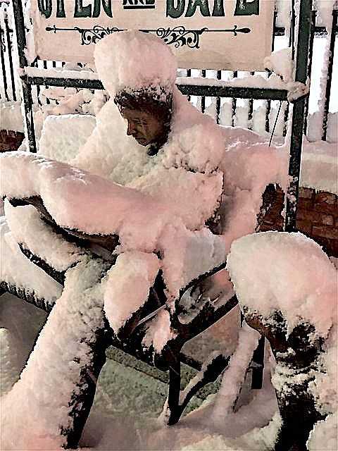
Resident Val Hatcher captured this photo of the Gardnerville reader on the morning of a late-January storm.
Forecasters say the short-term outlook going into irrigation season is fairly dry.
“The 8-14-day outlook leans toward warmer and drier conditions late in the month and into early April,” according to the monthly drought report issued by the National Weather Service in Reno. “Peak snow accumulation typically occurs within the next couple of weeks, leaving chances for recovery near zero for the Sierra.”
The 2.64 inches of precipitation that fell in Carson Valley during March 1991 helped make up for a combined .27 inches of moisture in January and February.
March 1991 wasn’t really all that miraculous. It was the ninth wettest March on record for Minden, where records have been kept since 1906.
It was quite a bit wetter than this March, which has seen .29 inches of precipitation in Minden so far this month, well below the average of .92 inches.
What counts for irrigation season is the status of the snowpack in the Sierra that feeds both forks of the Carson River.
According to Resource Conservation Service snow telemetry, there are 26.1 inches of water locked in the snowpack at Ebbetts Pass where the East Fork starts, down from the average 32.6 inches.
Carson Pass, at the top of the West Fork, is showing only 20.1 inches, or 68 percent of average.
A few spots lower down in the Carson River basin are running around average, including Hagan’s Meadow and Poison Flat at the 7,700-foot level. Those spots tend to melt first when warm temperatures arrive.
A major concern for the spring runoff is the dryness of the soils, which didn’t see a wetting rain before the snow flew last fall.
“Soil moisture conditions are at a record low for the (18 years) in the Truckee, Carson and Walker combined area,” according to the National Weather Service Reno. “Current snowpack conditions are well below average for the Sierra.”
The Weather Service is predicting streamflows of about half during irrigation season, which starts April 1.
On March 5, the U.S. Department of Agriculture declared 14 counties in Nevada to be primary natural disaster areas due to drought. As neighboring counties, businesses in Douglas, Carson and Storey counties are all eligible for low-cost loans.
Forecasters are expecting more extreme fire behavior with late fall fires spreading rapidly. More smoke from fires in California through the summer and early fall.
Impacts to agriculture include reduced irrigation water, hay crops, forage for cattle and reduced grazing on public lands.
Unlike the drought from 30 years ago, the winter of 2020-21 hasn’t been completely dry.
Most of the moisture in Carson Valley arrived in two big storms, one in November and another in late January. On Nov. 8, 2020, Minden recorded a foot of snow containing .9 inches of moisture. Another storm on Jan. 28 recorded 9 inches of snow, bringing the month to 13 inches. In both instances snow quickly melted off in the Valley.

Comments
Use the comment form below to begin a discussion about this content.
Sign in to comment