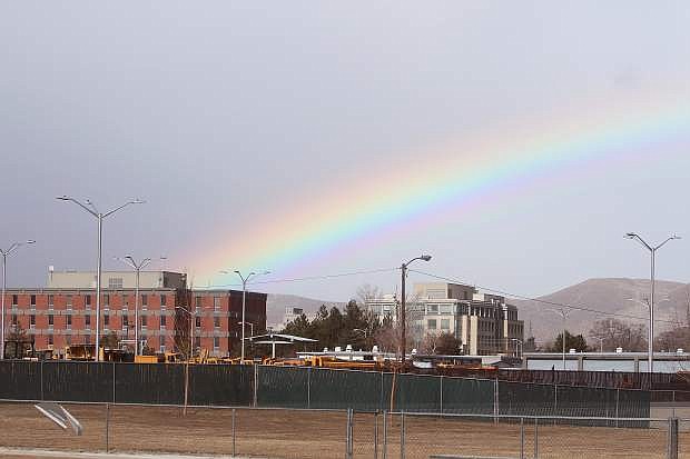
A rainbow is seen over the Nevada Department of Transportation about noon Wednesday.
RENO — As much as 2 feet of snow is possible atop the Sierra by Thursday as the first significant storm in nearly two months blows in none too soon for a drought-stricken region where wildfire threats are unseasonably high.
The California Department of Forestry and Fire Protection announced earlier this week it has hired 125 extra firefighters in Northern California and extended seasonal firefighting forces in Southern California because of the dry winter conditions.
The move follows Gov. Jerry Brown’s recent declaration of a drought emergency in California and is intended to provide necessary firefighting resources “to address the prolonged elevated threat of wildfire due to drought,” said Chief Ken Pimlott, the department’s director.
The storm is expected to start dropping moderate to heavy rain and high-elevation snow on the Sierra beginning tonight, with precipitation changing to snow Thursday and Thursday night, the National Weather Service said. Snow levels should drop to Lake Tahoe’s elevation — about 6,200 feet — by Thursday and to the valley floors by Thursday night.
Snowfall could total up to 2 feet above 8,000 feet, with a foot or more above 7,000 feet. Between a half-inch and an inch of rain is expected in the greater Reno-Sparks area and Carson City. Foothill locations could get an inch or two of snow.
“This is only a moderate storm by Sierra standards. But considering we haven’t had any storms for the last few weeks, it’s a pretty big deal,” National Weather Service meteorologist Zach Tolby told the Reno Gazette-Journal.
As of Tuesday, snow water content was 12 percent of normal in the central Sierra and 5 percent of normal in the northern Sierra, according to the California Department of Water Resources. The Lake Tahoe Basin’s snowpack was measured at 19 percent of normal, while the Truckee River Basin’s snowpack was 11 percent.
“Right now we are seeing conditions we would typically see in August,” Cal Fire spokesman Daniel Berlant.
“We definitely are on track to be the third-driest year on record, if not the driest year on record if things don’t change. That will translate into some pretty serious fire conditions this season if we don’t see some relief,” he said.
The snowpack atop Donner Summit where U.S. Interstate 80 crosses the Sierra southwest of Truckee, Calif., is the lowest it has ever been at this time of year in records dating back to the late 1800s, Tolby said.
“We’re definitely in uncharted territory. These are some of the driest conditions the Sierra has seen in recent recorded history,” he said. “This one storm isn’t going to make a large dent in the drought conditions, but it will help.”

Comments
Use the comment form below to begin a discussion about this content.
Sign in to comment