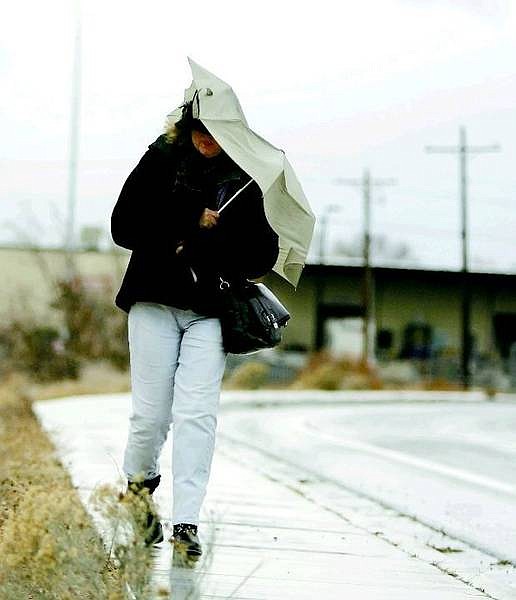
Brad Horn/Nevada Appeal A woman walks north on Roop Street in Carson City during a wind and rain storm on Friday. Carson City is expected to get up to 3 inches of rain by this morning.
City crews were preparing for the anticipated onslaught of problems related to the rain storm pounding the region through this afternoon.
According to the National Weather Service, the snow level during this storm was expected to rise to 9,000 feet and not drop until this evening to 5,000 feet. The lower snow level should ease water runoff.
The heaviest rain was expected to fall from mid-evening through this morning. Carson City is expected to get up to 3 inches of rain.
"The Waterfall burn area is especially susceptible to flash flooding," the service warned Friday morning.
And "significant rises" are expected on the Carson, Truckee and Walker rivers, though the service didn't predict significant flooding in those areas. People living near small creeks and streams, however, are advised to prepare for flooding and flash-flooding and to keep an eye on weather reports.
Early Friday afternoon the rain fell and the wind blew, and Fire Chief Stacey Giomi commented that things were "unusually quiet so far."
"It could be that people are staying in because of the rain," said Giomi, who is also the city's emergency manager. "Stay in and stay safe."
Workers were paying special attention to the Carson River as well as to the streams, creeks and drainages that run through the city.
The Waterfall fire brought with it long-term concerns about flooding, Giomi said.
"Post-fire, you've got a four- to five-year period where the area is susceptible to excess runoff," he said. This is because the vegetation in the hills is immature and might not withstand a storm of this force.
Sandbags were placed in strategic areas around the city in case they are needed to shore up trouble spots nearby. Some of these areas include Kings Canyon, Ormsby Boulevard, Winnie Lane and Ash Canyon, near the intersections of Fifth and Curry streets.
Adding to problems were storm-related vehicle accidents. A four-vehicle traffic collision on Highway 395 at Clear Creek Road happened at about 3:15 p.m. It temporarily blocked traffic, causing autos to be diverted from the site. One vehicle had to be cut open to get its occupant out. That person was injured, and transported by air to Washoe Medical Center, according to the Nevada Highway Patrol.
Another storm-related accident occurred Friday afternoon on State Route 429 near Bellevue and a truck overturned in Washoe Valley.
The next storm is expected to begin dropping rain on Sunday, ending by Monday evening.
-- Contact Terri Harber at 882-2111, ext. 215 or tharber@nevadaappeal.com
You can help
Residents are asked to call the city if they see any unusual flood conditions, such as large pools of water or very muddy water. It also is emphasized that they not go out specifically to find hazards.
Call 887-2355 during office hours and 887-2343 after hours to report hazards.

Comments
Use the comment form below to begin a discussion about this content.
Sign in to comment